Bangladesh v Myanmar (ITLOS) Judgment 2012
The case concerned the maritime boundary through the territorial sea, exclusive economic zone and the continental shelf, including the outer continental shelf beyond 200M.
The land boundary runs down the centre of the Naaf River to an agreed point at its mouth.

The east coast of Bangladesh is hilly, unlike its south-facing delta coastline Behind the coastal ranges lies the Naaf River, and behind the Arakan hills in Myanmar.

Bangladesh's St Martin's Island lies about 5M off the coast of both Bangladesh and Myanmar. The boundary in the territorial sea was calculated giving the island full-weight; beyond the territorial sea however it was ignored. The island is home to about 7,000 residents and has a busy tourist industry.

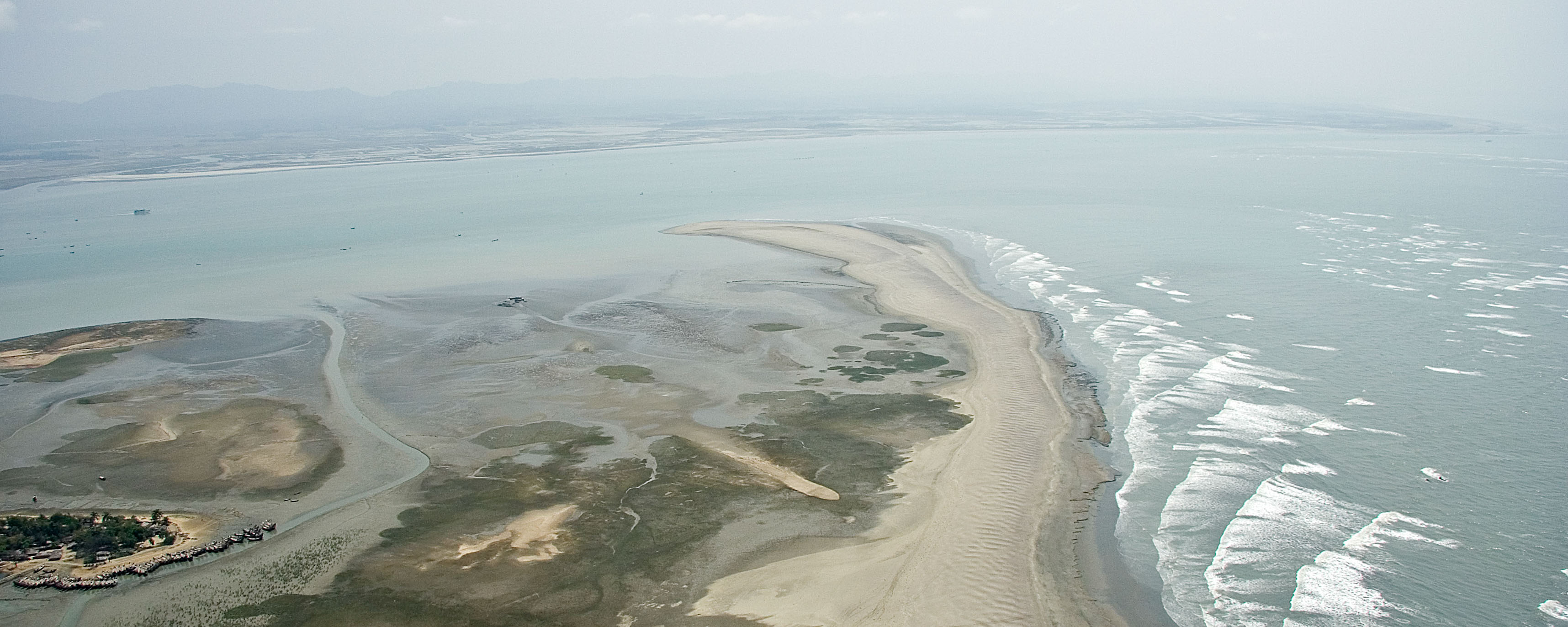
Unlike the west-facing coast, the south-facing delta coast is highly unstable. Islands form and are eroded continuously. The low-lying land is very susceptible to flooding and erosion especially during seasonal cyclones, and as a result of sea-level rise due to climate change. This photo shows extensive damage to mangrove forests along the southern edge of Clump Island.